Post-processing at your fingertips
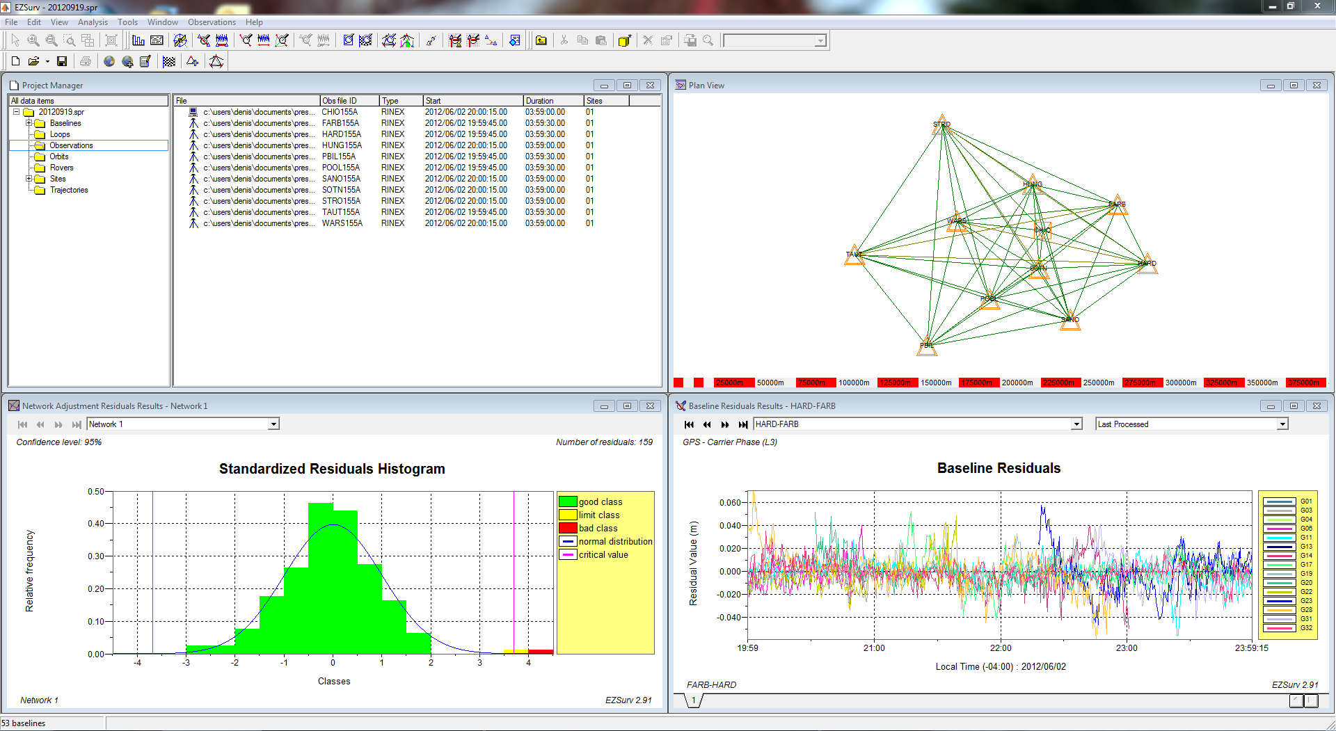
EZSurv is GNSS post-processing software that provides a reliable and efficient RTK offline solution to improve the accuracy of your survey or GIS data. Compatible with industry standards, EZSurv is a straightforward, user-friendly solution that offers 4 processing modes and many unique features.
Want to know more?
Download the Product Overview.
Software:
Please access our Distributor's Corner to download the instruction documents.
Field data collection software compatibility
- FieldGenius from MicroSurvey
- SurvCE from Carlson Software
- ArcPad from Esri
Processing modes
- Baseline processing
- Kinematic processing – PPK (RTK offline)
- Precise Point Positioning – static
- Precise Point Positioning – kinematic
Main features
- Automatic connection to many base station data providers
- Automatic connection to many precise orbit providers
- Least squares adjustment tool
- Support to most coordinate systems
- Many QA tools